
Laura Brown, Budget Travel.
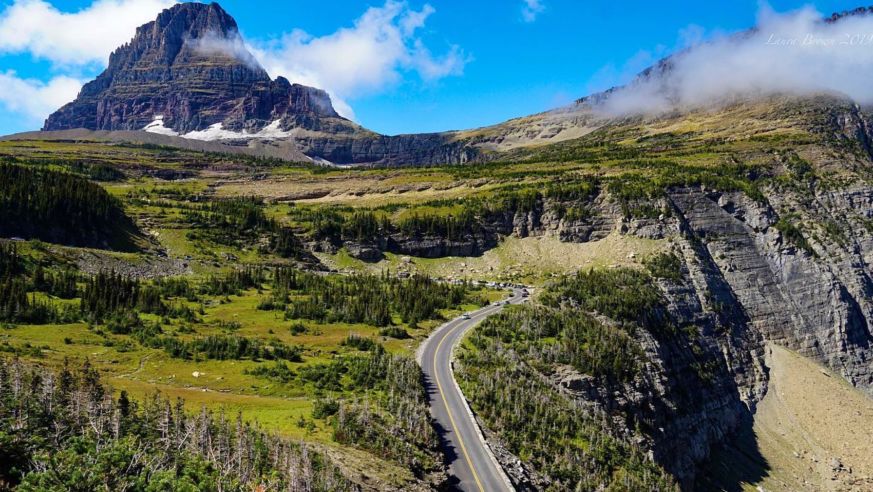
Going-To-The-Sun Road in Glacier National Park is easily one of the most scenic drives in the USA © Laura Brown / Budget Travel
America has some of the most beautiful landscapes on Earth, and there are plenty of scenic drives around the country that show off dramatic landscapes and dreamy sunsets. Here are 10 of the most scenic drives in America.
Before you leave, make sure you check health and safety regulations in any area you are traveling to, as well as the weather conditions. Mountain roads in particular are subject to closures due to snow. Prior to setting off on any road trip, make sure your car is ready for the journey. You could save 15 percent or more on car insurance by switching to GEICO.
Going-To-The-Sun road – Glacier, Montana
Going-To-The-Sun Road in Glacier National Park in Montana is almost 50 miles carved into the beautiful Rocky Mountains. It is the only road that traverses the park, providing access to Logan Pass at the Continental Divide. This alpine road is so winding it takes up to ten weeks for snow plows to clear them each year, so the best time to visit is later in the summer and early autumn. We recommend lodging on the Western edge of the park in Kalispell, where there is also an airport.
Skyline Drive – Shenadoah, Virginia
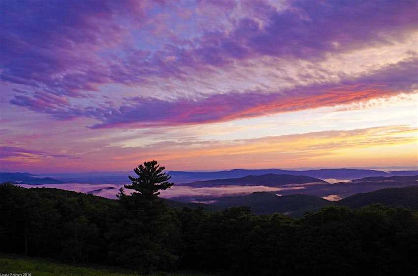
Skyline Drive is a 105-mile mountain road that runs the length of Shenandoah National Park in Virginia, starting in Front Royal, about an hour west of Washington, DC. There are 75 overlooks, providing amazing views of the Shenandoah Valley and the Piedmont. It is especially beautiful in the summer and autumn. Drivers should plan to spend a full day doing Skyline Drive, and we highly recommend you make time to watch an evening sunset from a west-facing overlook.
California State Route 180 (King’s Canyon Scenic Byway)
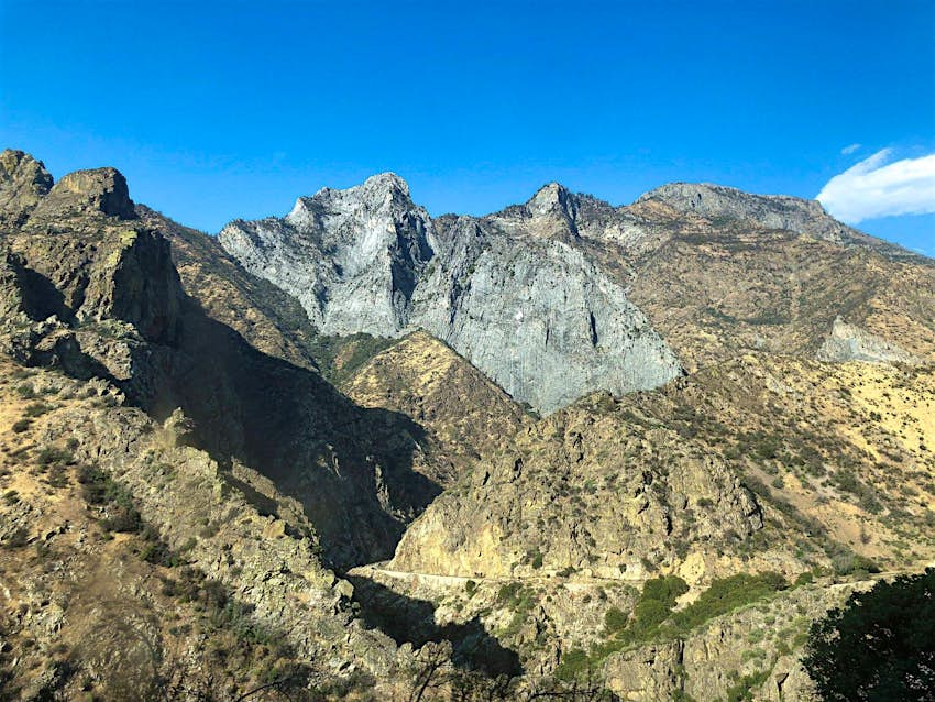
This state road has the benefit of going through two National Parks in short order. The first is the General Grant Grove of Giant Sequoias in Sequoia National Park. The road continues for another 50-miles through the Western Sierra to King’s Canyon National Park, an underrated gem in the National Park system. The nearest major city to King’s Canyon is Fresno, California.
Cades Cove Loop
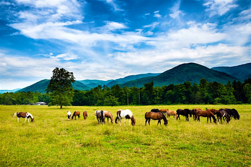
The 11-mile Cades Cove Loop is deep into Great Smoky Mountain National Park and it makes for a perfect leisure drive. Spend 2-3 hours exploring an early 1800s European settlement and appreciate the fresh air and beauty of the mountains. Make sure you plan a picnic and stop at Cable Mill, which also has restrooms. For accommodations, we recommend nearby Pigeon Forge, Tennessee. The nearest airport is in Knoxville, Tennessee.
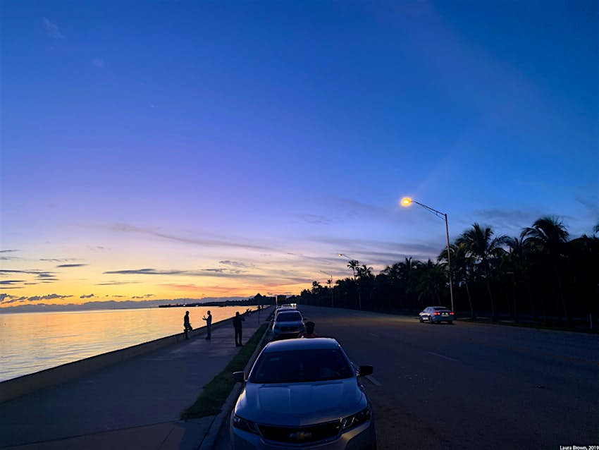
The Overseas Highway: Miami to Key West
The 110-mile Overseas Highway drives, well, overseas – connecting Miami to Key West through all the Keys. Drivers will feel the salt air and sunshine on their face and find plenty of charming nooks to explore along the way. There are beaches with public parking and unique local art gardens. At the end, arrive in beautiful Key West.
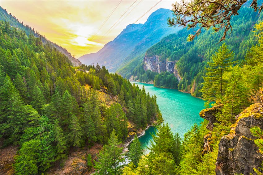
North Cascades Scenic Byway
The North Cascades Scenic Byway in Northern Washington is the most mountainous and hair-raising road traversing that park. You will see turquoise blue glacier water and sprawling mountain peaks. Make sure to stop for a photo at the Washington Pass Overlook. Eat, explore and stay at one of the 1920s towns along the way, and spend some time in the outdoorsy Methow Valley. Like most mountain passes, this is closed in the winter due to snow. North Cascades is relatively far away from society, the nearest airport is Seattle.
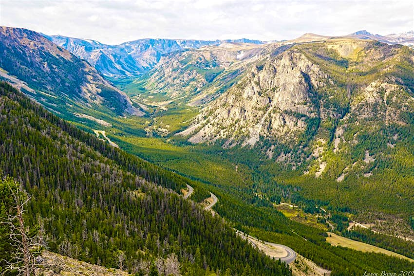
Beartooth Highway – Southwest Montana
This 68-mile mountain pass crosses from the town of Red Lodge, through Southwest Montana, and into the Northern entrance to Yellowstone National Park. It crosses through the beautiful Beartooth Mountains, one of the most remote regions of the United States, and one of the most ecologically diverse. The Beartooth Highway offers some incredible vistas as it climbs up the mountains. The nearest major airport is in Billings, Montana.
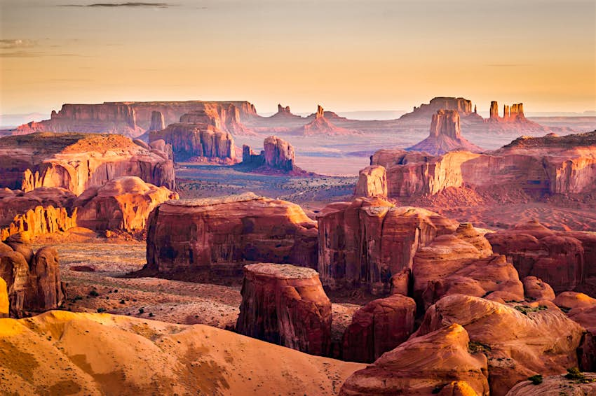
US Rt 163 (Monument Valley, Utah)
US Rt 163 is the 64-mile highway running from Arizona through the Navajo Nation in Southern Utah, showing off the dramatic and beautiful landscapes of Utah in Monument Valley. The red rocks and cliffs are one of the most iconic scenes in America, and the wide-open space makes the drive feel uncrowded. Plan at least two hours to make this drive and take time to stop for photography. Sunsets are particularly spectacular. The nearest major airport to Monument Valley is in Flagstaff, Arizona.
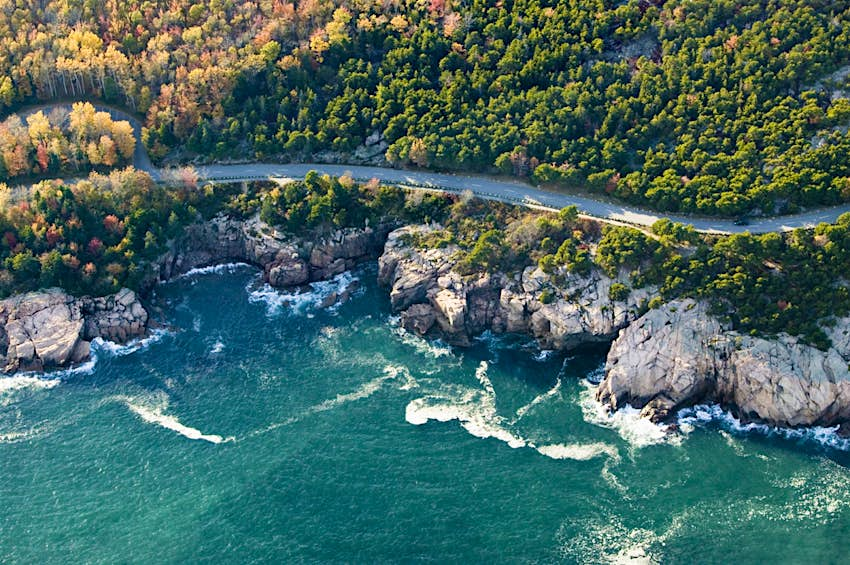
Park Loop Road – Acadia National Park, Maine
The 27-mile Park Loop Road is the primary road around Mount Desert Island in Acadia National Park. It offers scenic ocean vistas where the rocks hit the water, and the forest changes colors with the seasons. Make sure to plan extra time to stop for hiking and photography. For inexpensive accommodations, we recommend staying in nearby Bangor, Maine.
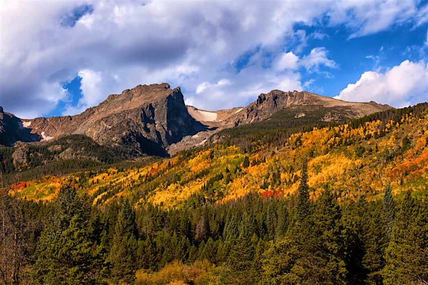
Trail Ridge Road – Rocky Mountain National Park, Colorado
The Trail Ridge Road is a 48-mile long mountain route, nicknamed the ‘Highway to the Sky.’ The highway starts in Estes Park in the East and goes to Grand Lake in the West. It climbs up more than 4,000 feet to above the tree line in Rocky Mountain National Park. Considered the highest elevation paved road in Colorado, it features plenty of hairpin turns. Plan at least half a day to fully appreciate this trip. The nearest major airport is in Denver.
SPONSORED BY
Carefully crafted collaboratively between Budget Travel, GEICO, and Lonely Planet. All parties provided research and curated content to produce this story. We disclose when information isn’t ours.
