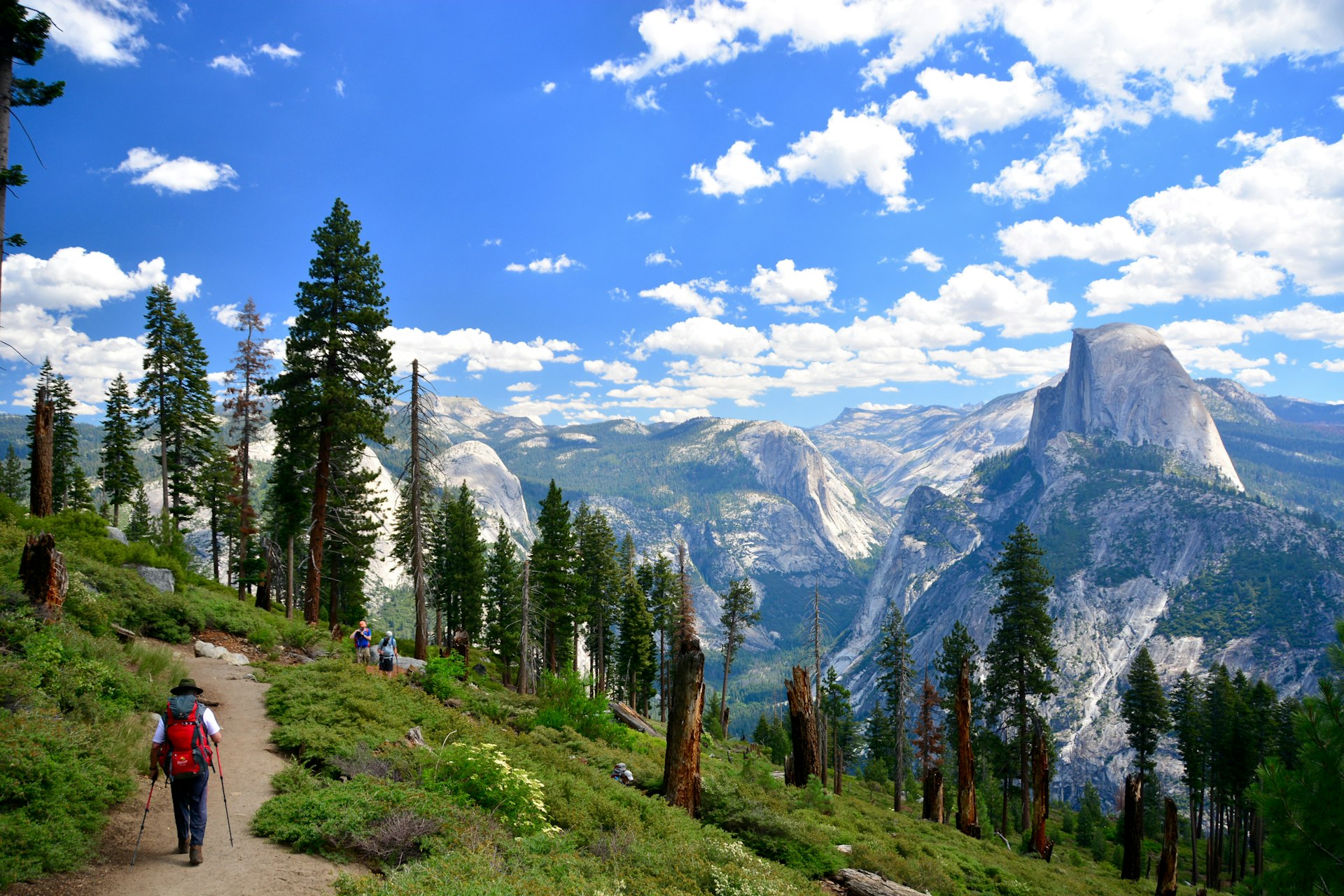
A dramatic area crammed with goose-bump-inducing vistas, shimmering lakes, towering waterfalls, soaring striped granite boulders, and vast emerald-green forests, Yosemite National Park is a beacon for the world’s hiking community.
Around 4 million people come to explore its 750 miles of trails each year. There are hikes for a range of abilities, from short punch-packing walks with staggering scenery to heart-racing overnight backcountry hikes for solitude and nature spotting (more than 400 species of animals reside in the park).
To help you narrow down your options, here’s our guide to Yosemite National Park’s best hiking routes.
1. Half Dome
Best hike for adventurers
17 miles (27km) round trip, 12–16 hours, strenuous
Half Dome has become the trail for thrill-seeking day-trippers visiting Yosemite National Park. The 4900ft climb is one of the most challenging and rewarding hikes in the US. It takes in the crowd-pleasing Vernal and Nevada waterfalls, before going through tranquil sequoia forests and above the timber blankets to a vertiginous 200ft cable-assisted nerve-testing granite climb to the 8844ft Half Dome peak.
The cables are only up between late May and October, and to prevent crowding, only 225 hikers are allowed beyond the base of the sub-dome each day. Permits are awarded by lottery via recreation.gov.
Reach Half Dome via the immensely popular – and steep – Mist Trail, which can be completed as a shorter day hike (see below). It’s also possible to break the hike up over two days and camp on the way to Half Dome, climbing up 4.8 miles from Yosemite Valley to Little Yosemite Valley Campground.
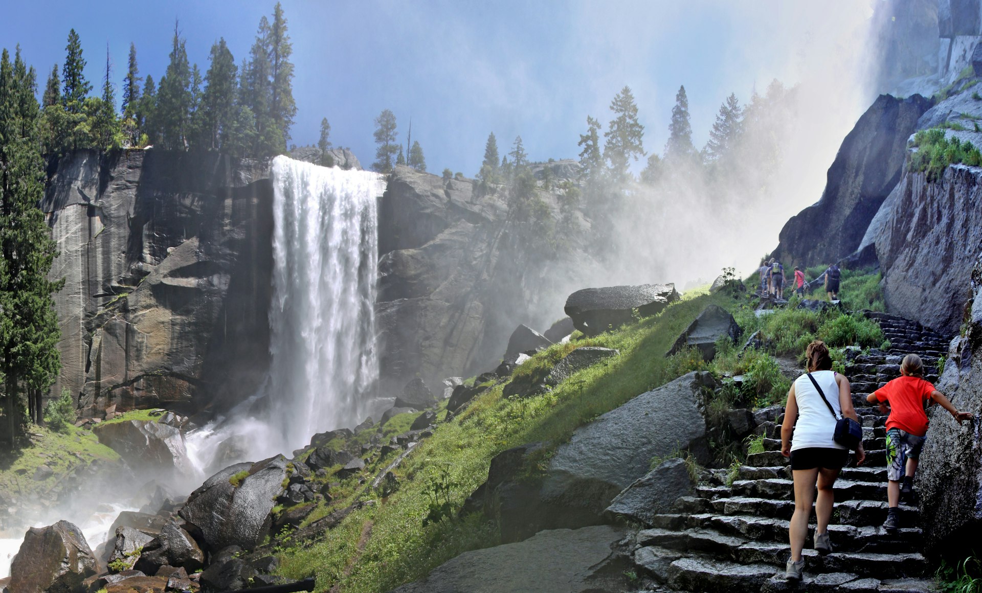
2. Mist Trail
Best hike for waterfalls
5.4 miles (8.6km) round trip, 5–6 hours, moderate to strenuous
This belter of a hike climbs a long, slippery granite staircase, which winds along the Merced River as the towering falls spray mist on hikers. Many choose to start at Happy Isles in Yosemite Valley and just climb the 1000ft, 2.4-mile round trip to the plunging 317ft Vernal Falls. On many days rainbows can be viewed in the frothy cascade from the top. Continue on a little to view the fast-flowing Emerald Pool.
Those with strength left in their legs can ascend the switchbacks a further 2000ft to the powerful and thunderous 594ft-high Nevada Fall. Climb above it for awesome views of the valley, then descend via the John Muir Trail for soaring views of the Liberty Cap granite dome and Nevada Fall beside it.
3. Yosemite Valley Loop
Best hike for major attractions
11.5 mi (18.5km) full loop, 5–7 hours, easy
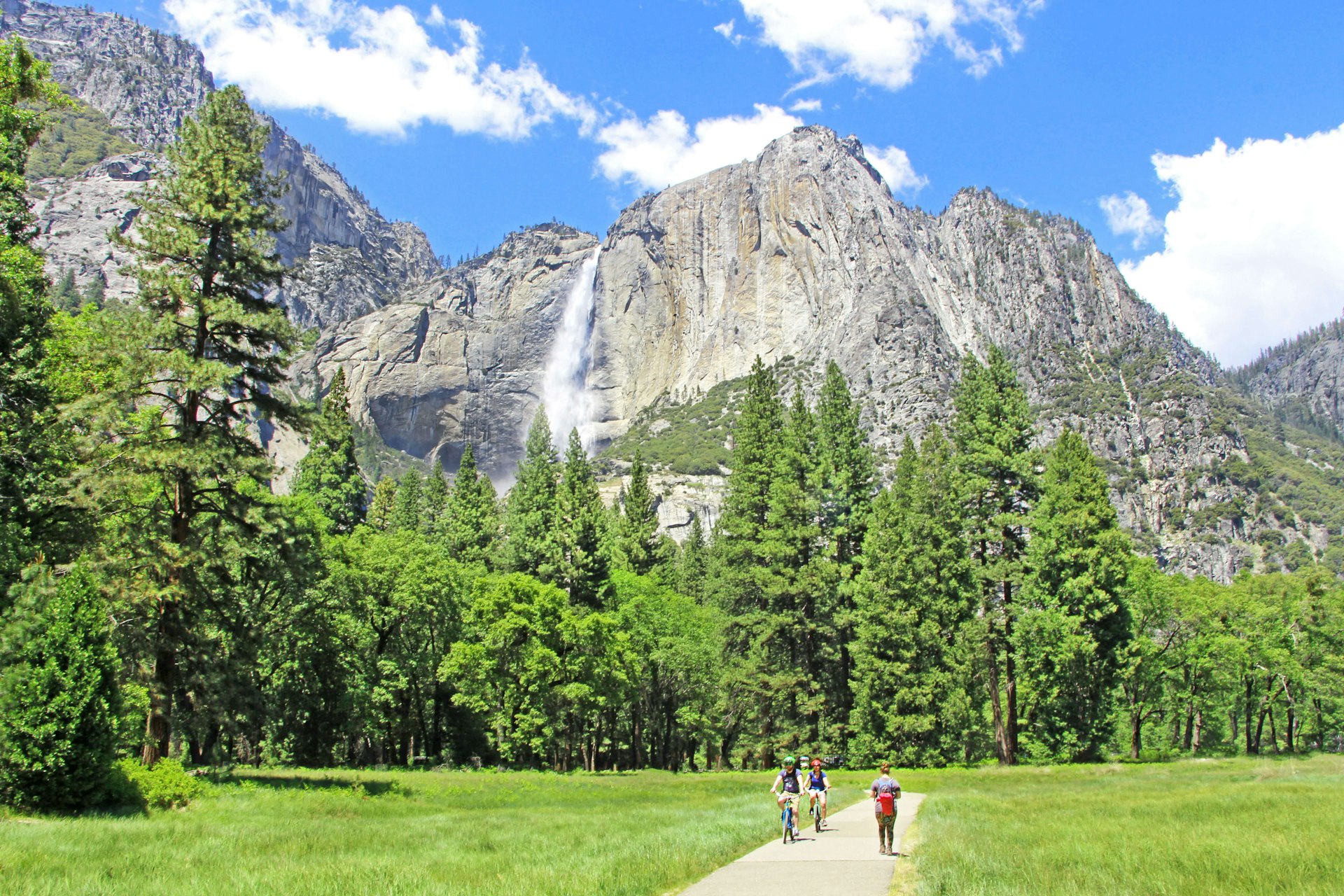
Don’t walk this trail for the wow factor, but to soak up some understated Yosemite charm – and find a surprising amount of solitude. With little altitude change, the trail follows some of the first wagon roads in the area and is a great way to get acquainted with the park’s meadows, granite cliffs, and natural water features.
Ramblers will see the iconic vertical rock formation El Capitan – a 3000ft granite monolith immortalized by Alex Honnold in the 2018 Oscar-winning movie Free Solo – and one of the tallest waterfalls in the world, Yosemite Falls, tumbling 2425ft from top to bottom. There are also views of the Three Brothers rock formation, named for the three sons of Chief Tenaya, head of the Ahwahneechee tribe, plus meandering sections of the 145-mile Merced River.
The route is best completed in spring when the wildflowers are in bloom, or in the fall when the trees turn red and golden. Near dusk, there’s a good chance of spotting mule deer. Keep a lookout too for hawks, woodpeckers, and elusive black bears. The relatively flat path is, in places, wheelchair- and stroller-friendly. The loop can be broken into segments or walked in its entirety and is open year-round.
4. Four Mile Trail
Best high hike
9.6 miles (15.4km) round trip, 6–8 hours, strenuous
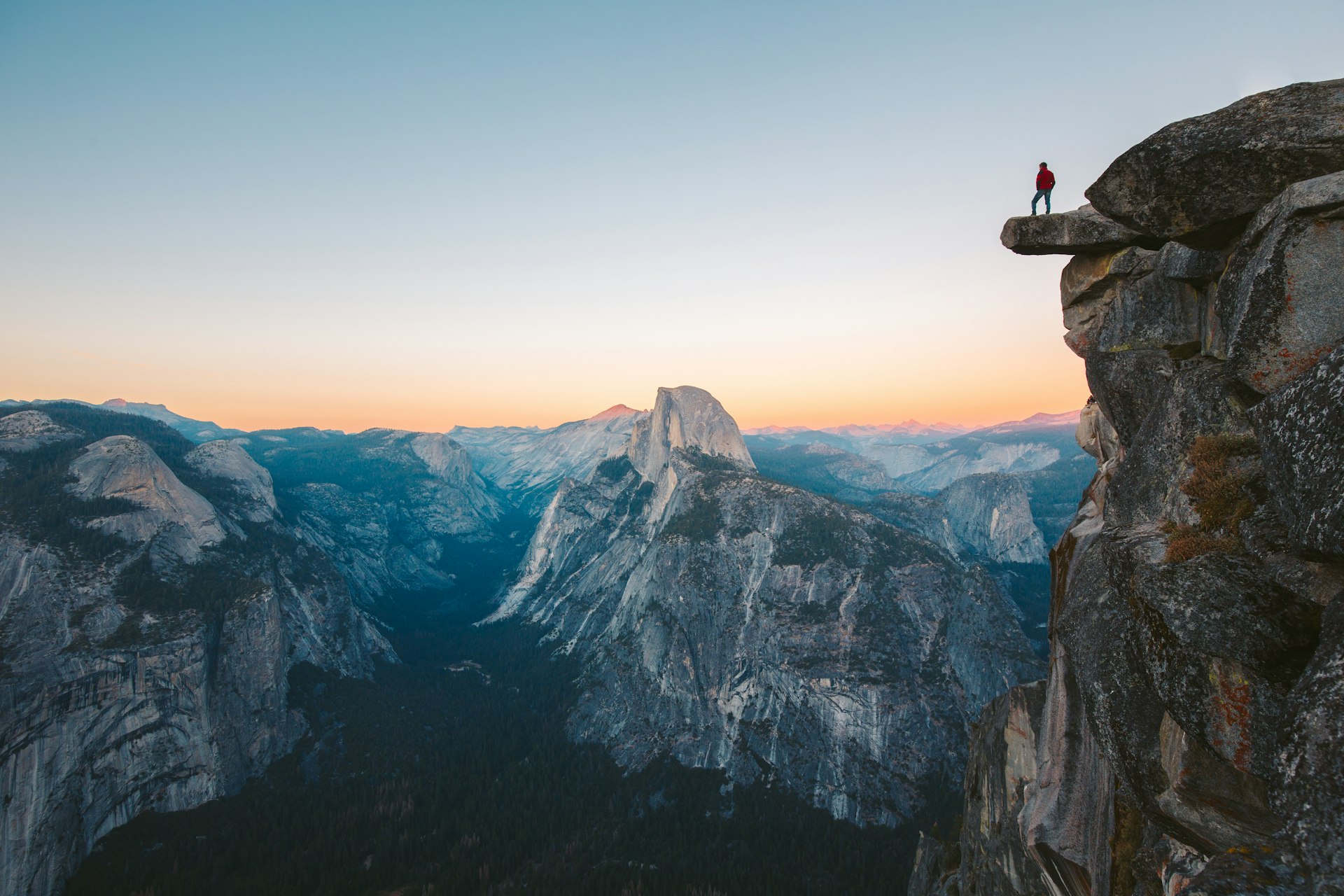
This trail is the whole package, connecting two of Yosemite’s big draws – Yosemite Valley and Glacier Point – and boasting magnificent views. Climbing 3200ft from the valley floor to heights of 7200ft, along forest paths, up switchbacks, and along wide rocky ledges, it shows off the park’s most prized landmarks: Yosemite Falls, Cathedral Rocks, El Capitan, Sentinel Dome, Mirror Lake, Tenaya Canyon, Half Dome, Clouds Rest, North Dome and the Royal Arches.
Retrace your steps to return to the starting point, or make it a loop hike by continuing on a further 8.5 miles on the Panorama Trail to Nevada Fall, following the Mist Trail to Happy Isles in Yosemite Valley. The trail is closed in winter.
5. Mirror Lake
Best hike for families
2–5 miles round trip, around 2 hours, easy
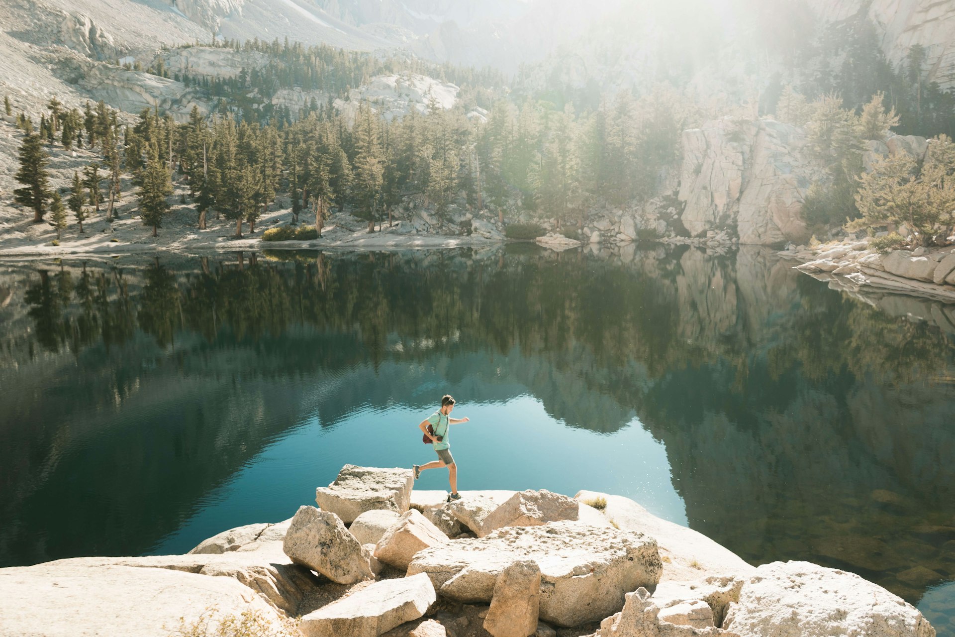
Get up close to the base of Half Dome on this relaxing hike through peaceful forests, crossing Tenaya Creek to Mirror Lake – one of the few swimming holes in the park. Mirror Lake’s teardrop-shaped bowl formed as a result of landslides in the area, thought to be caused by an historic earthquake; it refills each year when Tenaya Creek floods, trapping water in the basin.
The Ahwahneechee indigenous peoples enjoyed the place too, naming it Ahwiyah, meaning “quiet water.” But these relaxing pools won’t be here forever – sand from Tenaya Creek is building, and the accumulation of sediment means the area will eventually become a meadow. Note that the pool itself is seasonal and gets crowded in early summer, though it’s too dry for swimming during the peak of summer.
Hikers in spring, however, are rewarded with dogwoods in bloom and reflections of Half Dome and Mt Watkins on the water’s surface – a photo opportunity too irresistible to miss. Go in winter if you’re in search of isolation.
Traveling to Yosemite with kids? They’ll love these activities
6. Yosemite Falls
Best hard hike
6.8 miles (10.9km) round trip, 5–6 hours, strenuous
Built between 1873 and 1877, this switchback-heavy, thigh-burning, sweat-inducing 3000ft elevation-gain hike leads you up stone steps to the tallest waterfall in North America, which drops some 2425ft. The epic views on this historic trail start from 1000ft, around a mile in, at 5031ft-high Columbia Rock, where you can see Half Dome in the distance.
The path snakes through oaks to Lower Yosemite Fall, where the mist cools you down in spring whether you want it to or not. At 6936ft-high Yosemite Point, you’ll get “it was all worth it” views of Half Dome, North Dome, Clouds Rest, Glacier Point, Cathedral Rocks and the Lost Arrow formation.
Tips for hiking in Yosemite National Park
- Pick up a park map at the entrance and drop by the visitor centers for up-to-date trail information – weather, landslides, river flows, fallen trees, fires and more can make hikes inaccessible.
- Be bear-aware, especially in the backcountry. Use a bell on hikes so bears know you are approaching, bring bear canisters if camping in the wild and use bear lockers in campsites. Don’t leave food in your car overnight.
- Don’t forget to enter the permit lottery if you hope to climb Half Dome or leave the park via the John Muir Trail. You’ll likely need a permit for backcountry treks as well, so check your route’s regulations in advance.
- Use the shuttles when possible to help reduce traffic in the park.
- Hike early for fewer crowds. Book campsites in advance where possible.
- If you’re doing multi-day hikes, plan your water consumption: check where you can fill up your water bottles on the route, and use sterilizing tablets or a water filter when filling up from a river.
- Don’t rely on your cell phone – the signal is patchy and almost non-existent in the backcountry. Instead, download offline maps before you enter the park.
Keep planning your trip to Yosemite:
Understand park rules and permits with these 7 things you need to know before visiting Yosemite National Park
Get driving tips and avoid congested routes with 5 of the best road trips in and around Yosemite National Park
Don’t miss the top 8 Yosemite experiences
